Drone as-built surveys for handover and adoption in the North East
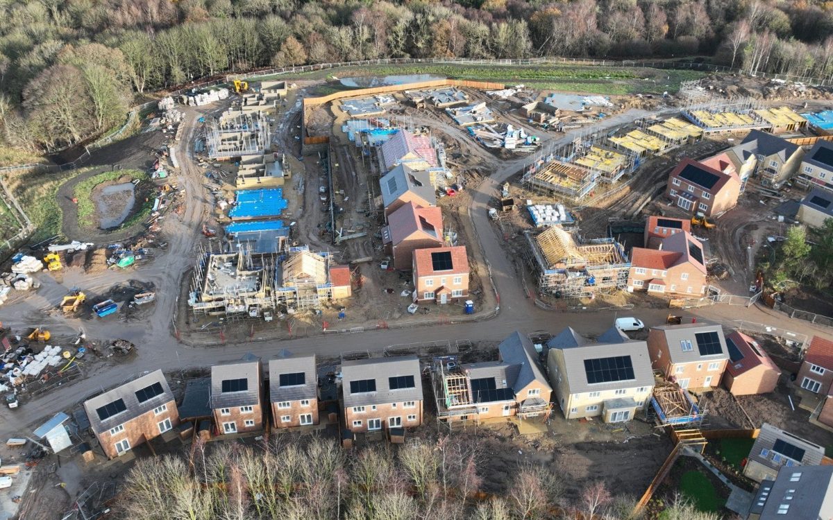
A dated, measurable record of what was actually built. An as-built drone survey captures the finished site as an orthomosaic and surface model, with drafted CAD linework available by arrangement, so handover, adoption and later questions can be answered from evidence.
Prefer to talk it through? Call 07970 393381.

What an as-built survey records
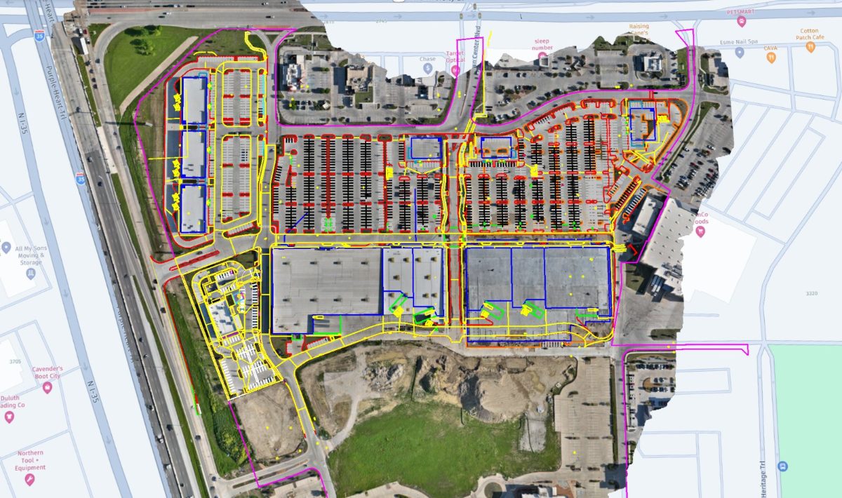
Once a phase or a whole site is complete, it is flown and processed into a georeferenced orthomosaic and a surface model on your coordinate system. Where a drafted as-built drawing is needed, visible features such as kerbs, footpaths, plot boundaries, covers, gullies and walls can be drawn up by arrangement through a specialist surveying contact.
The result is a record that can be measured, compared with design and shared with the adopting authority, the client or a future owner. Because it is dated and controlled, it also settles questions about what was built, when and where.
Used for
- Handover packs and client records
- Highway and drainage adoption submissions
- Comparison with the approved layout
- Plot conveyancing plans and boundary checks
- Evidence if a dispute arises later
What you receive
- As-built drawingDWG, DXFDrafted linework, levels and visible features, by arrangement
- OrthomosaicGeoTIFF, ECWA dated, measurable image of the finished site
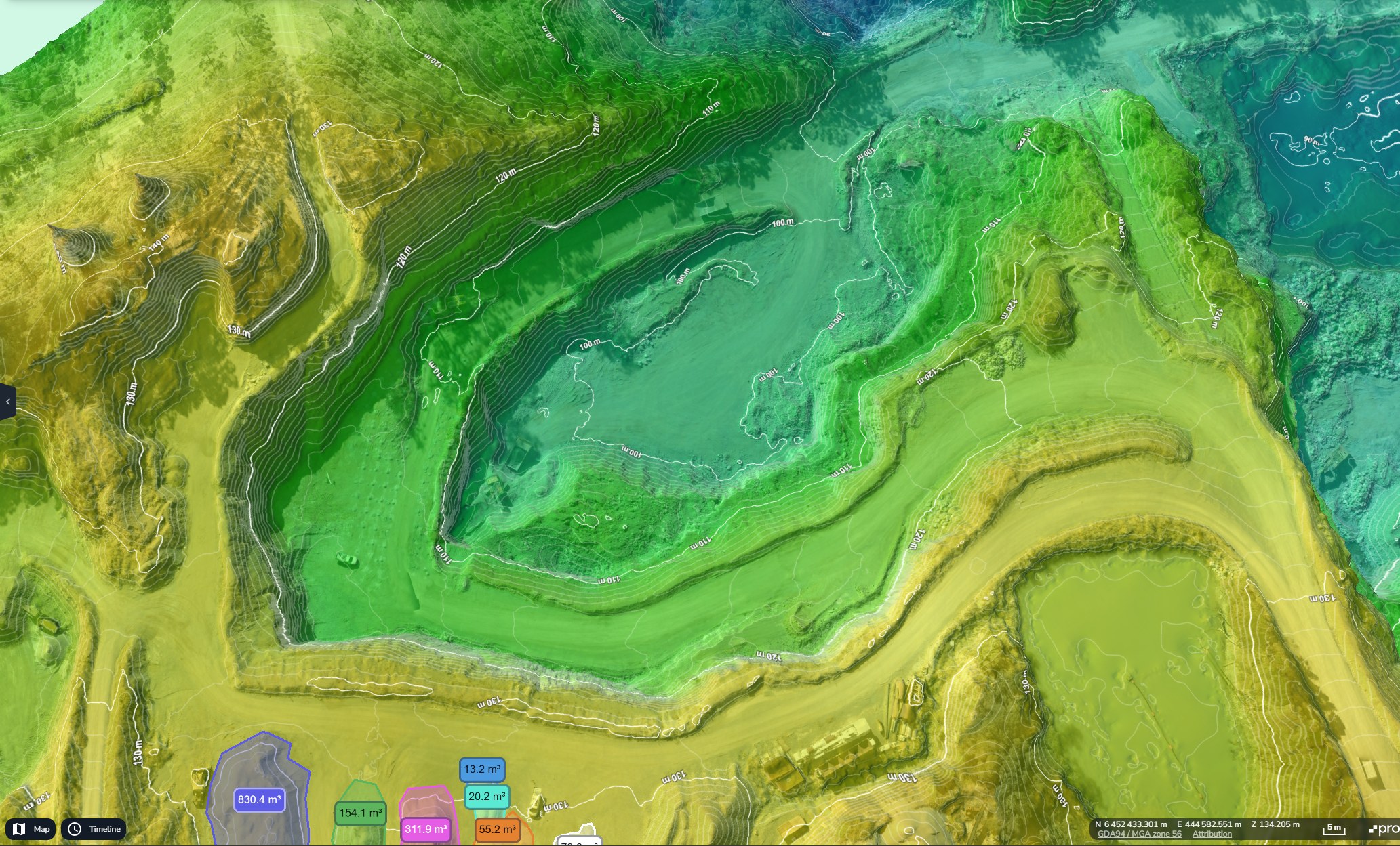
- Surface modelGeoTIFF DSM, LandXMLFinished levels for checks against design
- Comparison with designPDFAn optional overlay of your layout, with differences marked
- Accuracy reportPDFCheckpoint residuals for this survey
Who needs as-built surveys
Housebuilders
Records for handover, adoption and plot conveyancing.
Civil and groundworks contractors
Evidence of completed works for final accounts and sign-off.
Developers and clients
A measured record of the finished asset for the estate file.
Estates and facilities teams
Up-to-date site plans for maintenance and future works.
How the work is done
- ScopeAreas to record, features to draw, your layout drawings and any adoption requirements.
- ControlGround control and checkpoints measured with GNSS on your chosen coordinate system.
- FlyThe finished site is captured, ideally when it is clear of cars and materials.
- DrawWhere required, visible features drawn up as CAD linework by arrangement, with an optional comparison with design.
- DeliverOrthomosaic, surfaces, checkpoint report and any drawings agreed at the start.
How accurate is a drone as-built survey?
As-built surveys use the same control as other Droneacres mapping work: an RTK aircraft, ground control measured with GNSS and independent checkpoints compared against the result. The checkpoint results are reported, so you can judge whether the record suits handover and adoption checks.
What affects the result
- Checkpoint residuals for the survey
- Parked cars, skips and materials hiding features
- Clear sight of covers, kerbs and edges
- Requirements set by the adopting authority
As-built survey questions
Can an as-built drone survey support adoption?
Yes. It provides a dated, controlled record of roads, kerbs, footpaths and visible drainage covers to support highway and drainage adoption. Send the adopting authority's requirements when you enquire and the survey will be planned around them.
When should the as-built survey be flown?
As soon as the area is complete and clear of parked cars, skips and materials. On phased sites, each phase can be recorded as it finishes.
Can you compare the as-built with the design?
Yes. Supply your layout in DWG or DXF and the differences are marked on an overlay.
CAD overlay and design comparisonIs the record useful if questions come up later?
Yes. Every survey is dated, georeferenced and checked against independent checkpoints, with the results included, so it gives a clear record of the site on the day it was flown.
Can the survey include the buildings as well?
Yes. Rooflines and footprints are picked up from the orthomosaic, and a 3D model can be added if you need elevations recorded too.
3D modelling and inspectionRelated services
All services